Groundwater levels, stream gauge data, precipitation, water use, and climate projections: the water...
5 Challenges on the Path to Resilient Water Management
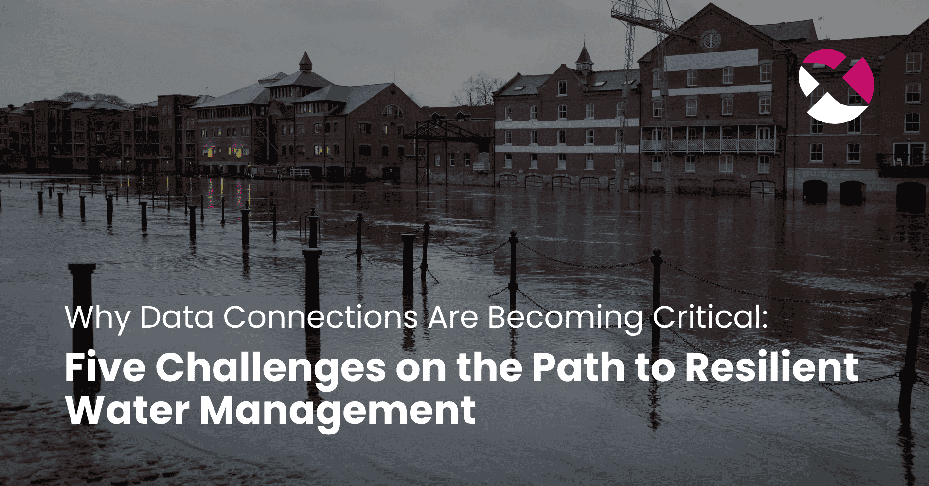
Water management has never been a simple task. For decades, cities, municipalities, water associations and utilities have been responsible for ensuring drinking water quality, water availability, wastewater disposal, network maintenance and the protection of water bodies. Much of this work happens quietly in the background — and only becomes visible to the public when something goes wrong: a pipe bursts, a basement floods, a well yields less water than expected or a heavy rainfall event overwhelms entire streets.
What is new, then, is not that water management is demanding. What is new is the number of challenges occurring at the same time.
Periods of drought and heavy rainfall, ageing networks, rising construction and energy costs, growing requirements around water protection, climate adaptation and resilience, as well as limited staffing resources are increasingly converging. The German Water Sector Report 2025 makes this clear: public water supply and wastewater management are part of essential public services and critical infrastructure in Germany. At the same time, the sector is facing challenges that require new ways of thinking and adaptation — including climate change, the energy transition, demographic shifts, regulatory requirements and a worsening shortage of skilled workers.
This changes the perspective. Operational capability will no longer depend on one measuring point, one specialist system or one report alone. What matters is whether many distributed pieces of information can be turned into a reliable overall picture.
1. Water availability is becoming more regional, more volatile and more prone to conflict
One of the biggest challenges of the coming years may sound contradictory at first: municipalities need to deal with water scarcity and large volumes of rainfall at the same time. After prolonged dry periods, groundwater levels can fall, spring discharge can decline and peak demand can rise. Only a few weeks later, heavy rainfall may overwhelm sewers, watercourses, streets and sealed surfaces.
For water management decisions, it is no longer enough to ask: “How much water is available overall?” More important questions are: Where is the water? When is it needed? How quickly is the situation changing? Which uses depend on the same resource at the same time? And which areas are particularly sensitive?
No single dataset can answer these questions. Rainfall data needs to be considered alongside soil moisture, groundwater levels, river gauges, withdrawals, consumption data, land use and information on sealed surfaces. Only then is it possible to assess whether a falling groundwater level can be explained seasonally, whether it is linked to increased withdrawals or whether it points to a longer-term trend.
At the same time, this helps identify areas where rainfall runs off particularly quickly or where sealed surfaces make infiltration more difficult. For municipalities, this is especially relevant for planning: Where are additional retention areas needed? Which abstraction areas are particularly sensitive? Where could desealing have a real effect? Which infrastructure needs to be prepared for more frequent extreme events?
Data does not replace professional water management judgement. But it can make developments visible before they become acute problems.
In 2025, the German Environment Agency published new data on groundwater recharge and the groundwater abstraction index. The core idea is highly relevant for practice: water withdrawals can only be assessed reliably when they are set in relation to the renewable groundwater resource. This makes it possible to identify regions where water availability, usage pressure and climate-related changes are beginning to overlap critically.
This is where modern water data work begins: not with more sensors for their own sake, but with the question of which existing information needs to be connected in order to assess regional risks earlier and more fairly.
2. Infrastructure decisions have consequences for decades
Water infrastructure is not planned for just a few years. It is infrastructure built across generations. Pipes, sewers, reservoirs, wells, pumping stations, treatment plants and retention areas often have service lives of several decades, sometimes far beyond that.
At the same time, the conditions around them are changing faster than before. Climate change, shifting usage patterns, new legal requirements, rising construction costs and shortages of skilled labour are increasing the pressure to prioritise investments very carefully. Germany’s water supply and wastewater networks together cover more than 1.1 million kilometres. Each year, the water sector invests more than 10 billion euros in its infrastructure.
Still, the key question remains: Where does each euro invested have the greatest impact on security of supply, resilience and long-term asset preservation?
The age of a pipe alone is not enough to answer that. For rehabilitation and investment planning, connected information is becoming increasingly important: material, damage history, soil conditions, pressure zones, hydraulic loads, demand development, the location of critical facilities and the potential consequences of failure.
Which pipe sections show an unusual history of damage? Which materials cause more frequent problems under certain conditions? Where would a failure have particularly serious consequences? Only by combining these perspectives can technical, operational and societal risks be properly distinguished.
Data can also help detect anomalies earlier during ongoing operations. Operating data such as pressure and flow values, consumption trends or fault reports can indicate whether something is changing in a particular part of the network. They do not replace expert assessment, but they can help teams take a closer look before a problem escalates.
The value lies on two levels: strategically, in rehabilitation and investment decisions; operationally, in daily network management, early detection and prioritisation. When budgets are limited and specialist teams are stretched, this distinction matters.
3. The water sector has plenty of data — but not always a shared picture
The water sector has been measuring, documenting and analysing data for decades. It would therefore be wrong to say that the sector first needs to “become data-driven.” Many utilities, municipalities and water associations already work with monitoring networks, laboratory values, operating data, hydraulic models, GIS data, permitting documents, maintenance plans and the practical knowledge of operational teams. The real problem often lies in the gaps between systems.
GIS systems know where pipes and assets are located. Control systems provide operating data. Gauge and rainfall data may come from other specialist systems or external sources. Consumption data is stored in billing systems. Information on land use, sealed surfaces or planned development areas sits within municipal planning processes. Then there are spreadsheets, PDF reports and the experience held by individual employees.
As long as each department only needs to answer its own question, this coexistence can work well enough. It becomes more difficult when decisions require information from several areas at once — for example, when heavy rainfall prevention, sewer rehabilitation, desealing, urban development and drinking water infrastructure need to be considered together.
That is often when the real work begins: exporting data, adjusting formats, comparing different time references, clarifying responsibilities, asking follow-up questions and checking plausibility. This work is technically necessary, but it ties up resources and makes recurring, repeatable analyses more difficult.
Germany’s National Water Strategy explicitly sets out the goal of improving data flows. The German Environment Agency also describes digitalisation as a tool for monitoring, data management, modelling, planning and decision support in water management. At the same time, it points out that cross-administrative data management and data exchange still require greater harmonisation and standardisation.
The first question in digitalisation is therefore not always: Where do we need more sensors? Often, it should be: What information do we already have — and how can we bring it together reliably, transparently and in a reusable way?
4. Skills shortages make documented knowledge even more valuable
In many organisations, the experience of individual specialists plays a crucial role. This includes knowledge about particular features of the network, recurring faults, unusual measuring points, local weak spots during heavy rainfall or lessons learned from previous measures.
This knowledge is highly valuable in day-to-day operations because it helps teams interpret data and events correctly. But it is also vulnerable. When employees retire, change roles or are absent for longer periods, knowledge built up over many years can be lost. At the same time, skills shortages make it increasingly difficult to fill vacant positions quickly with equally experienced staff.
Data cannot replace this professional experience. But it can help document it more transparently and make it usable for others. If faults, unusual measurements, measures taken, decisions and assessments are recorded systematically, an operational knowledge base can develop over time. New employees then do not have to learn every local peculiarity exclusively through personal handovers. Experienced staff are also relieved when information no longer has to be pieced together manually from several systems.
The aim is not to automate professional judgement. Quite the opposite: expert assessment will remain central. But the time previously spent searching for data and manually combining information can be redirected towards evaluation, planning and operations. Where staffing resources are limited, that makes a measurable difference.
5. Competing uses require transparent foundations
Water will increasingly become the subject of competing interests. Public supply, agriculture, industry, energy, urban development, ecology and recreation all depend on the same water resources or land functions. During dry periods, these interdependencies become especially visible.
The German Water Sector Report 2025 shows that conflicts over water use do not only arise where there is too little water overall. They also arise because of regional and seasonal peaks. Average household water use has been declining for decades, yet utilities still need to design their infrastructure for high demand during hot and dry periods. In some regions, additional demand is also rising, for example through irrigation, commercial use or livestock farming. As a result, the focus is not only on groundwater, but also on reservoirs and surface waters.
For public water supply, one point is central: clean drinking water and functioning wastewater management are both essential for daily life and for regional economic development. The priority of public water supply is legally protected. Nevertheless, during periods of scarcity or heat, certain uses can still be restricted locally.
But this requires transparent data.
It needs to be clear which withdrawals are taking place, how groundwater recharge is developing, which uses are competing with one another, which ecosystems depend on certain water conditions and which measures actually have an impact. Without this transparency, water management can quickly become a distribution debate without a shared factual basis.
Regional and supra-regional water use concepts can help balance interests and manage water resources more sustainably. But fair decisions need fair data as their foundation. This is not merely a technical question. It is a prerequisite for trust between municipalities, utilities, businesses, agriculture, authorities and the public.
From data silos to a shared water data space
The challenges described above have one thing in common: they can no longer be assessed in isolation. Water availability, heavy rainfall prevention, infrastructure condition, land use, consumption, withdrawals and ecological requirements are all connected. Yet the relevant data is often created in different systems, organisations and areas of responsibility.
A shared water data space can help close this gap. It is not another data repository, nor does it replace existing specialist systems. Instead, it creates a connecting structure in which data can be brought together in a controlled, traceable and purpose-driven way.
This can turn distributed pieces of information into a shared picture — for example, of groundwater level developments, heavy rainfall risks, sensitive abstraction areas, critical infrastructure sections or competing uses. On this basis, scenarios can be compared, measures prioritised and decisions justified more transparently.
But this requires more than technical interfaces. A data space must also define who is responsible for which data, how current it is, what quality it has, under which conditions it may be used and how key terms are understood consistently. This is especially important in water management because measurements can easily be misread without their professional context. A gauge reading or a consumption peak says relatively little on its own. It becomes meaningful only when viewed together with rainfall, seasonality, withdrawals, land use, geology, infrastructure and local operational experience.
A shared water data space is therefore not a cure-all. It does not build a pipe, replace a water law procedure or decide which use should take priority during a drought. But it does create the foundation for addressing such questions in a more informed, transparent and forward-looking way.
From reacting to acting ahead
The water sector will continue to operate under uncertainty. Droughts cannot be prevented, heavy rainfall events cannot simply be planned away and ageing infrastructure cannot be renewed overnight. But many challenges can be recognised earlier, interpreted more accurately and addressed in a more targeted way.
This is not only about more sensors, new software or additional infrastructure. It is about the ability to look at water resources, networks, land and uses together.
That is technically demanding because the water cycle does not stop at administrative or organisational boundaries. Groundwater responds to rainfall, withdrawals, soils, sealed surfaces and geology. Sewer systems respond to heavy rainfall, urban development and land use. Supply systems need to account not only for average demand, but also for peak loads during hot periods. Investments need to reduce today’s risks while remaining robust for developments that may only become fully visible in 20 or 30 years.
The shift from reacting to acting ahead begins where distributed information becomes a shared picture. Technology matters — but it is not the core. The core lies in connection: between data sources, specialist departments, responsibilities and the people who take responsibility for water every day.